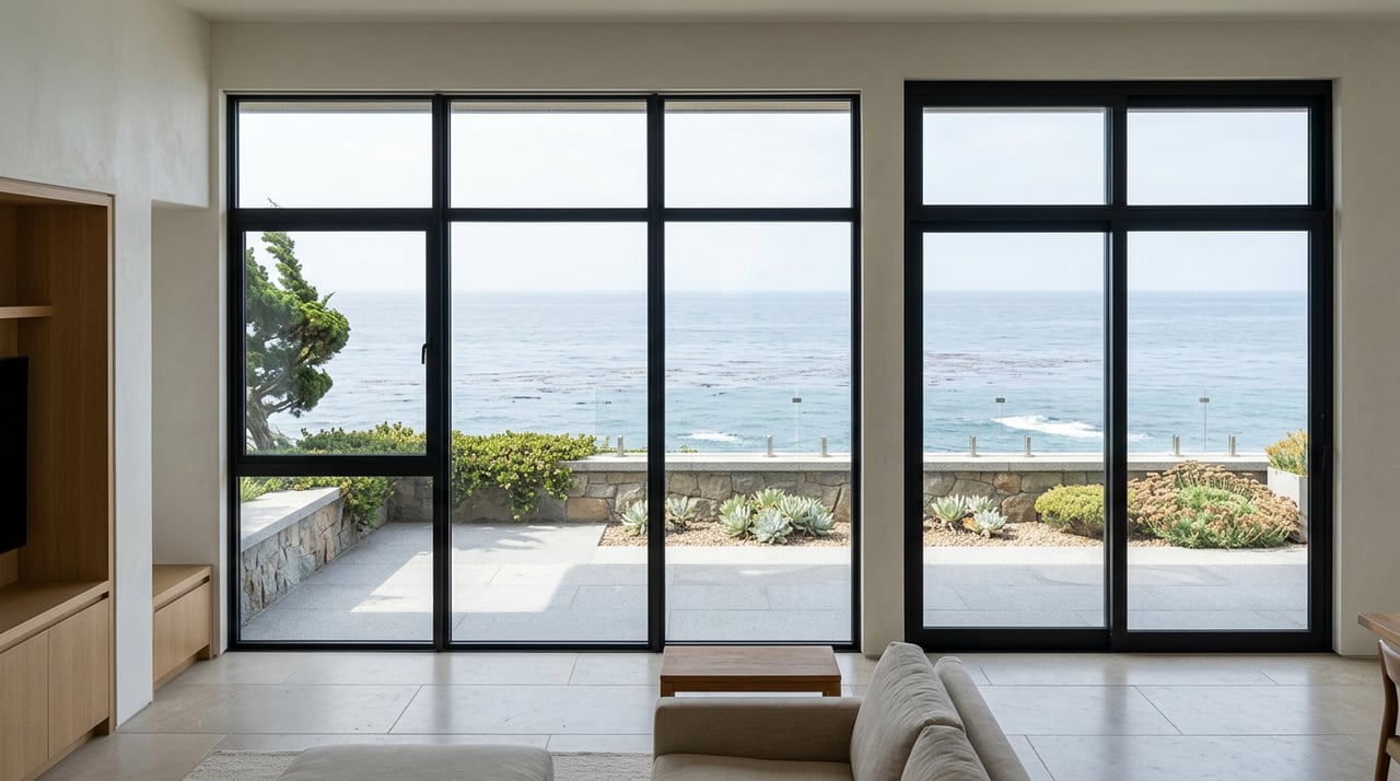
Waking up to the sound of surf below your terrace is the dream that draws many to Carmel Highlands. If you are exploring oceanfront or bluff-top homes here, you also want clarity on risk, permits, insurance, and long-term care. This guide gives you a practical playbook to buy with confidence while protecting your investment. You will learn how the County classifies properties, what geotechnical studies and permits look like, how shoreline protection rules work, what insurance covers, and the due diligence steps to take early. Let’s dive in.
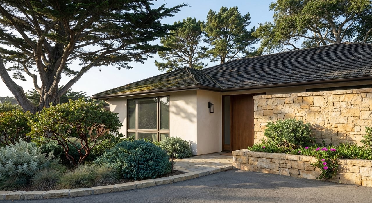
Oceanfront, bluff-top, and ocean-view: key differences
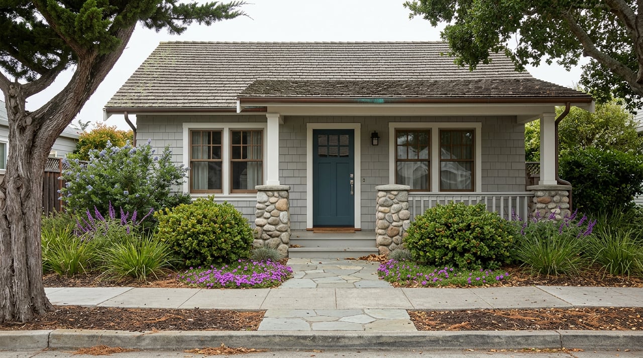
Not all “oceanfront” homes face the same rules or risks. Understanding the label on a listing helps you plan your due diligence and set expectations.
- True oceanfront parcels sit at the beach or cliff edge. They have the highest exposure to wave run-up, bluff retreat, and permitting scrutiny. Expect mandatory geologic review and often deed-recorded hazard notices under local coastal rules. The County follows a certified Local Coastal Program reviewed by the California Coastal Commission. You can see typical requirements in the Commission’s record of local standards for setback and hazard notices in Monterey County here.
- Bluff-top oceanfront or bluff-top ocean-view homes sit on the bluff above the shoreline. They can deliver dramatic views and direct exposure to coastal conditions. These sites routinely require geotechnical investigations for new building, additions, or re-siting. The same Commission record outlines common triggers for reports within bluff buffers here.
- Ocean-view or near-coastal properties set back from the bluff may face lower direct erosion risk, but they still sit within the Coastal Zone. Monterey County uses Design Control and Visual Sensitivity overlays around Carmel to guide appearance and protect public views. Design approvals and coastal permits often apply to exterior work. See the County’s overview of the application process and design review context here.
The practical takeaway: treat “oceanfront” as a signal of higher regulatory review, hazard analysis, and possible long-term maintenance, not just a marketing descriptor.
Bluff hazards and geotechnical requirements
The Central California coast, including Carmel Highlands, experiences bluff retreat, wave-driven erosion, and slope instability that can accelerate during winter storms. Local planning references regional sea-level rise and storm modeling tools like USGS CoSMoS and NOAA datasets. To see the science context planners use, review the USGS coastal hazards program overview here.
Monterey County’s certified coastal program requires a geologic hazards assessment or full engineering-geology report for development within 100 feet of a coastal bluff. The program sets a baseline structural setback of 25 feet from the bluff top and allows larger setbacks when a site-specific analysis shows more distance is needed to provide a stable building site over the structure’s intended life. Recording a Notice of Hazards on the deed is a common condition. These requirements appear in the Coastal Commission’s record of Monterey County standards here.
What your geotechnical report includes
A site-specific hazards report typically covers:
- Mapping of the bluff edge and historic scarps, plus regional geology.
- Subsurface exploration with borings or test pits and lab testing as needed.
- Groundwater observations and slope-stability analyses.
- A quantitative estimate of likely bluff retreat over the design life of the structure.
- Recommendations for setbacks, foundation design (for example, deep piles vs. spread footings), drainage controls, erosion-control measures, and monitoring.
- Any restrictions such as no future armoring and recordation of hazards. You can see examples of required elements in the Commission’s cited exhibits here.
Line up the right experts
To get ahead of permitting and risk, you should assemble a capable team early:
- Certified engineering geologist or geotechnical engineer for the hazard assessment.
- Structural engineer for foundation options and load paths.
- Civil engineer for site drainage and grading plans.
- Marine or coastal engineer if toe-of-bluff conditions or wave impacts are in play.
- Septic and well specialists if the property is on private systems.
Sellers often must disclose prior geotechnical reports, permits, hazard notices, and any recorded easements. Request and review those early in escrow. For process context and required submittals, see the County’s current planning application page here.
Permits and shoreline protections
Most discretionary development in unincorporated coastal Monterey County requires a Coastal Development Permit (CDP). The County runs a statutory 30-day completeness review for applications, and many coastal projects also require design approvals in Design Control or Visual Sensitivity areas. Straightforward proposals may be handled administratively. More complex or visible projects often go to public hearing and can be appealed to the Coastal Commission. Expect a multi-month path, including public notice and appeal periods. You can review the process steps on the County site here.
Shoreline armoring limits
California policy sets strong limits on new hard shoreline protection. The Coastal Act and Commission guidance favor siting and designing development to avoid the future need for armoring. Armoring such as seawalls or revetments is typically considered only in narrow circumstances to protect existing structures, and even then it requires mitigation for impacts to the shoreline system. You should assume that approval for new hard armoring will be difficult, controversial, expensive, and often denied for newer development. For statewide adaptation context, review the Coastal Commission’s Sea Level Rise Policy Guidance appendices here.
Long-term maintenance and records
Approvals near the bluff often include ongoing obligations:
- Drainage controls that keep runoff away from the bluff face and prevent concentrated discharge.
- Erosion-control plans and limits on vegetation removal, with landscaping often reviewed by a County geologist.
- Monitoring and periodic reporting to track bluff conditions over time.
- Notices of Hazards recorded on the deed.
Emergency stabilization may be authorized when there is an acute danger, but longer-term protection is subject to full discretionary review. Maintenance easements, public-access conditions, and other recorded restrictions can run with the land. A careful title review is essential.
Insurance and financing realities
Coastal beauty comes with specific insurance questions. Standard homeowners policies usually exclude flood and many forms of earth movement such as landslides and most ground subsidence. For water-driven losses like certain mudflows defined in NFIP rules, flood insurance under the National Flood Insurance Program or a qualifying private policy is the proper product. NFIP treats mudflow differently from a gravity-driven landslide and does not cover pure earth movement that is not caused by flooding. FEMA’s explanation of how mudflow is defined and covered is summarized in this resource from FEMA.
Earthquake and earthquake-triggered landslide damage typically require separate earthquake insurance through the California Earthquake Authority or private markets. Lenders often want evidence that a property is insurable and may ask for geotechnical documentation to understand site stability.
California regulators are also studying insurer capacity for climate-driven perils like flood, sea-level rise, and landslides. The Department of Insurance’s Climate Insurance Working Group has flagged challenges around flood-insurance uptake and evolving underwriting for coastal risks. You can review the state’s discussion draft here.
Plan your coverage and lender steps
- Ask your lender and an experienced coastal insurance broker early about homeowners availability for the specific parcel, flood-insurance options, and earthquake coverage.
- Clarify how the carrier treats earth movement, mudflow, and water-driven damage.
- Confirm whether the insurer or lender will require a geotechnical report or engineering letter to bind coverage or close.
- Anticipate that terms and pricing can change as carriers update coastal underwriting.
Market context and pricing
Carmel Highlands is a thin, high-demand market with very few oceanfront or bluff-top sales in any given month. That means medians can swing widely, and headlines may highlight one-off, high-figure closings. Treat recent sales as illustrations rather than firm price bands.
- True oceanfront or beach-front homes are a premium segment with thin inventory. Sales can reach very high price points when rare legacy sites come to market.
- Bluff-top ocean-view homes vary widely by lot, siting, structural design, and recorded restrictions. Many trade at premium levels.
- Ocean-view homes set farther back often command materially lower prices than direct oceanfront while still delivering Coastal Zone living.
For any coastal property, sensible budgeting includes funds for due diligence, potential drainage upgrades, monitoring, and specialized consultants.
Your pre-offer checklist
Use this list to get oriented before you write an offer on an oceanfront or bluff-top property in Carmel Highlands:
- Pull County hazard references and FEMA flood-zone information for the parcel. Monterey County’s Multi-Jurisdictional Hazard Mitigation Plan gives a useful overview of local hazards here.
- Request all prior geotechnical and engineering reports, any Coastal Development Permits or Coastal Exemptions, and all recorded Notices of Hazards.
- Confirm any recorded view or access easements, maintenance agreements, or deed restrictions with a title review. The County’s current planning page outlines application and review basics here.
- Speak with your insurance broker about homeowners availability, flood options, and earthquake coverage for this specific parcel. The Department of Insurance’s climate work provides useful context here.
- Ask the seller for the complete permitting history and any outstanding County or Coastal Commission conditions.
- If the listing advertises “oceanfront,” require a geotechnical hazards assessment or written clarity on setbacks and feasibility of future stabilization. Do not rely on marketing labels.
Buying with confidence in Carmel Highlands
Owning on the edge of the Pacific is a rare privilege in Carmel Highlands. With the right preparation, you can balance breathtaking views with prudent stewardship. Focus on exact site position relative to the bluff, obtain and review geotechnical and recorded documents, understand permit pathways, and confirm insurance options early. If you would like a discreet, data-informed partner to guide you from first tour to close, connect with the team at the E&V Carmel Shop.
FAQs
What permits do you need to renovate a bluff-top home in Carmel Highlands?
- Most coastal projects require a Coastal Development Permit, and development within 100 feet of a bluff typically needs a geologic hazards assessment, with design approvals in Design Control and Visual Sensitivity areas; see the County’s process overview here.
How close to the bluff can you build in Carmel Highlands?
- The local coastal program uses a baseline structural setback of 25 feet from the bluff top, with larger setbacks when site-specific analysis shows it is necessary to ensure stability over the structure’s life; the Coastal Commission’s record summarizes these standards here.
Can you add a seawall to protect a new bluff-top home?
- New hard shoreline armoring is strongly limited and is typically not permitted for new development; policy favors siting and design that avoid future armoring, and approvals for existing structures are tightly conditioned; see statewide guidance context here.
What does a geotechnical report include for a Carmel Highlands site?
- Expect mapping of the bluff edge and scarps, subsurface exploration and lab testing, slope-stability analyses, a bluff-retreat estimate, and recommendations for setbacks, foundations, drainage, erosion control, monitoring, and any restrictions; examples appear in the Commission’s exhibits here.
How do flood and landslide insurance work on the coast?
- Standard homeowners policies usually exclude flood and earth movement; NFIP flood policies can cover certain water-driven mudflows but do not cover pure landslides, while earthquake-triggered losses require separate earthquake insurance; see FEMA’s mudflow guidance here.
Do design rules protect ocean views in Carmel Highlands?
- Monterey County’s Design Control and Visual Sensitivity overlays regulate appearance and help preserve public views; confirm any recorded private view easements during title review; see the County’s planning context here.